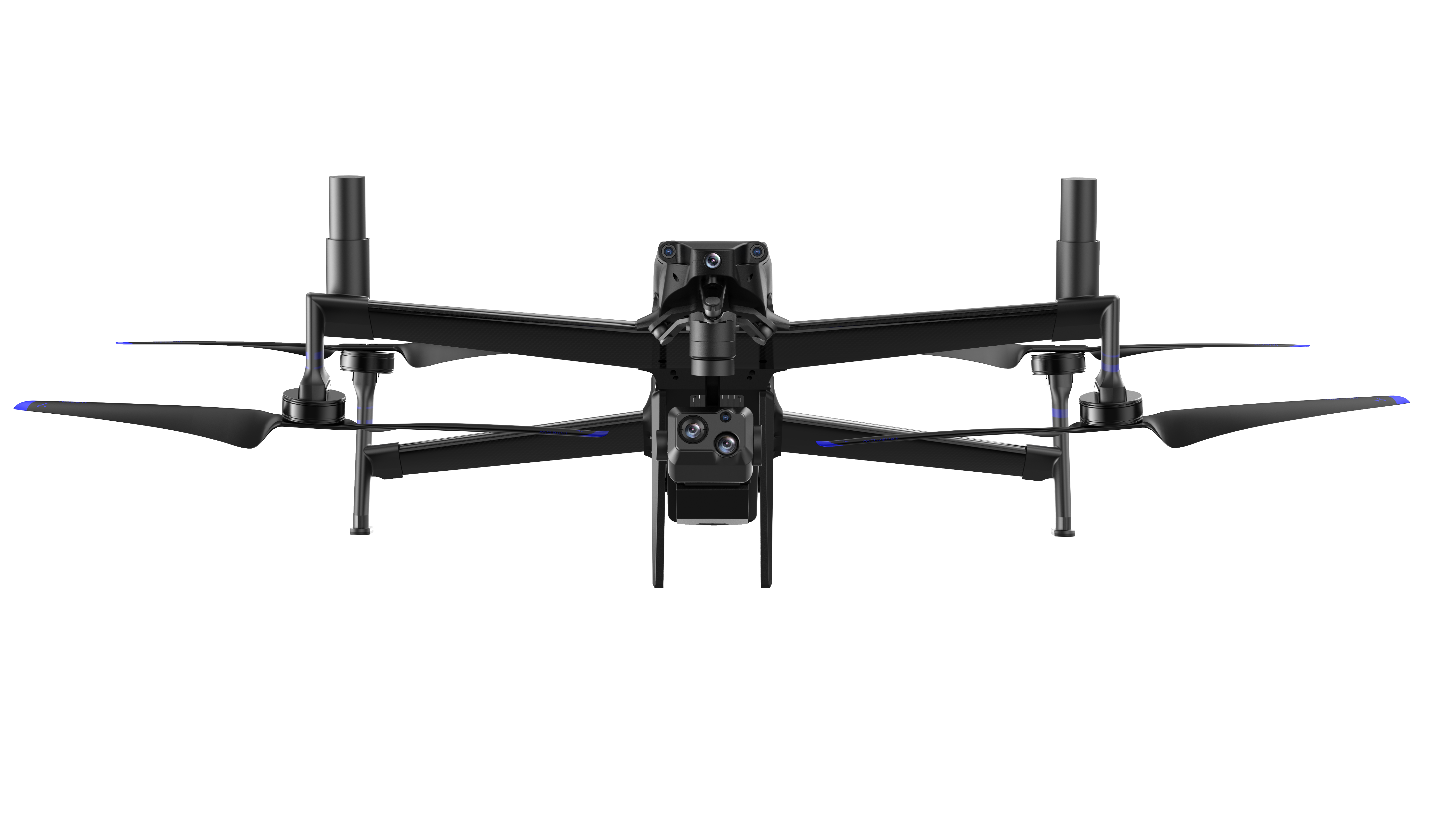


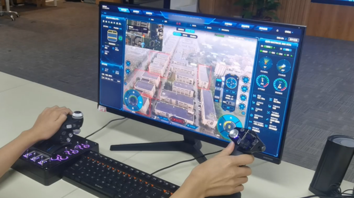
It supports remote control of UAVs(nose direction, gimbal angle,zooming and IR switching, etc.)and mounts (such as loudspeaker)
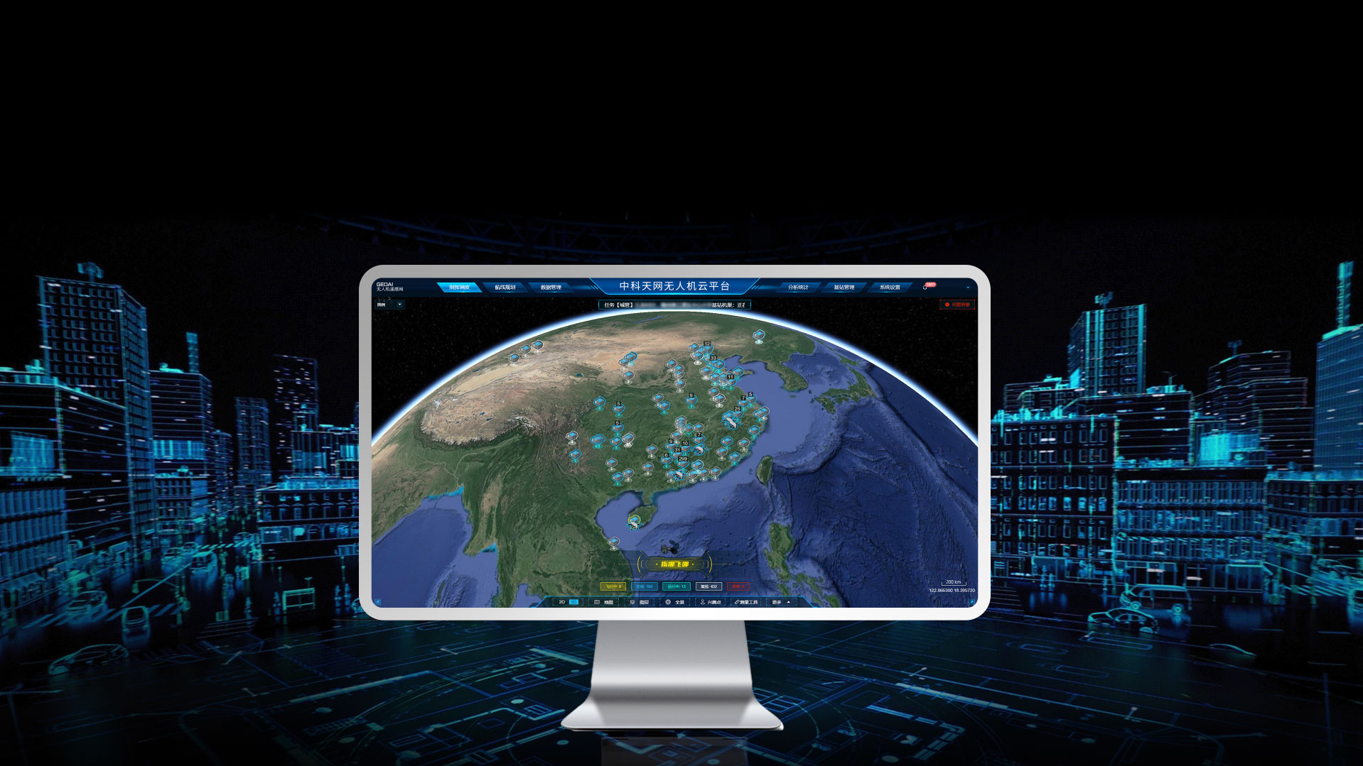
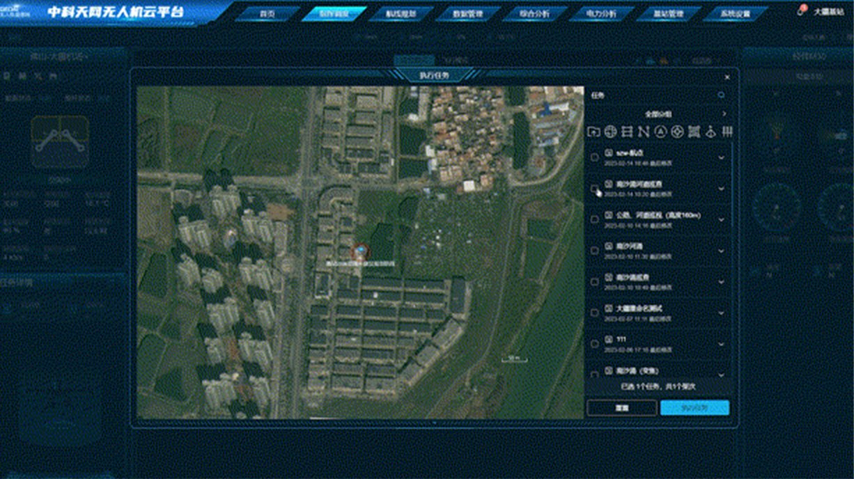
GEOAI UOS is a UAV remote sensing network operation platform integrating dispatching, control and professional applications. Users may, just by logging in to the web-page, peform such tasks as route planning, real-time monitoring, UAV fleet operation, data uploading and management, as well as data analysis based on rich and three-dimensional visual environment.

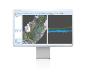
The platform supports multiple route planning methods to meet the requirements of various industries.
Waypoints and UAV attitudes can be adjusted dynamically in a three-dimensional visual platform. Safety of routes is ensured by electronic fences and collision simulation.
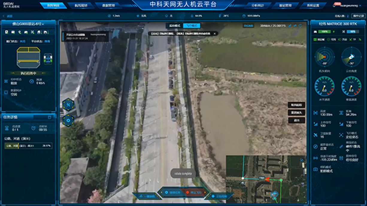
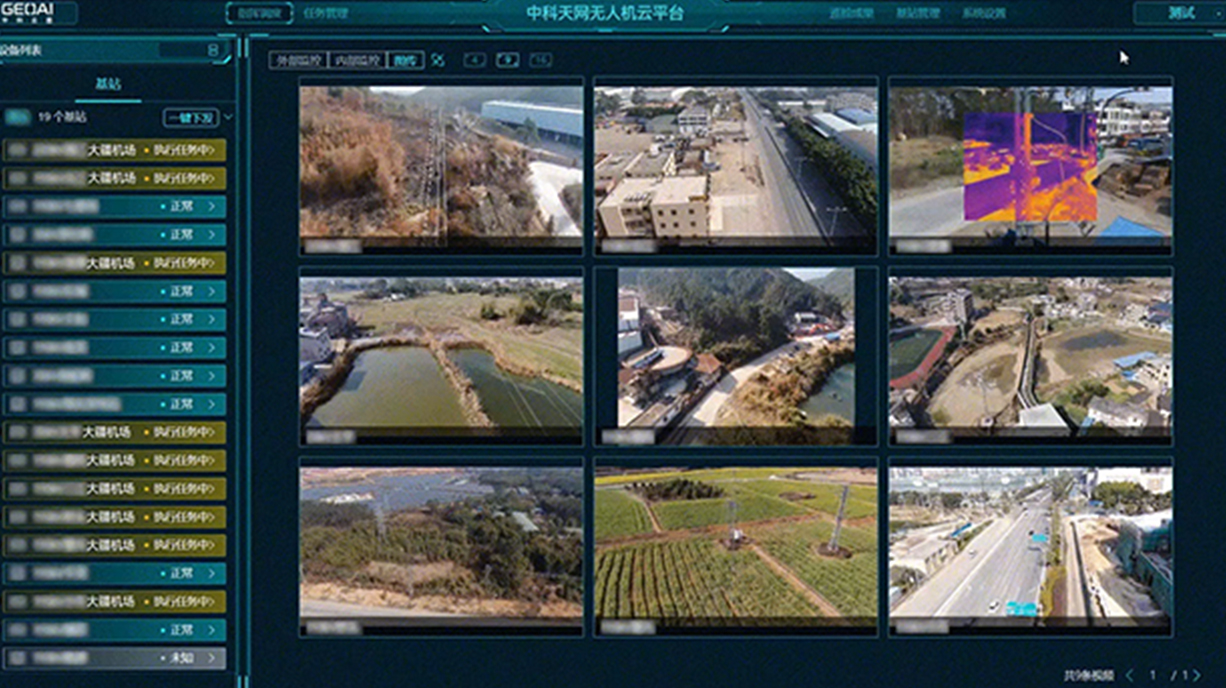
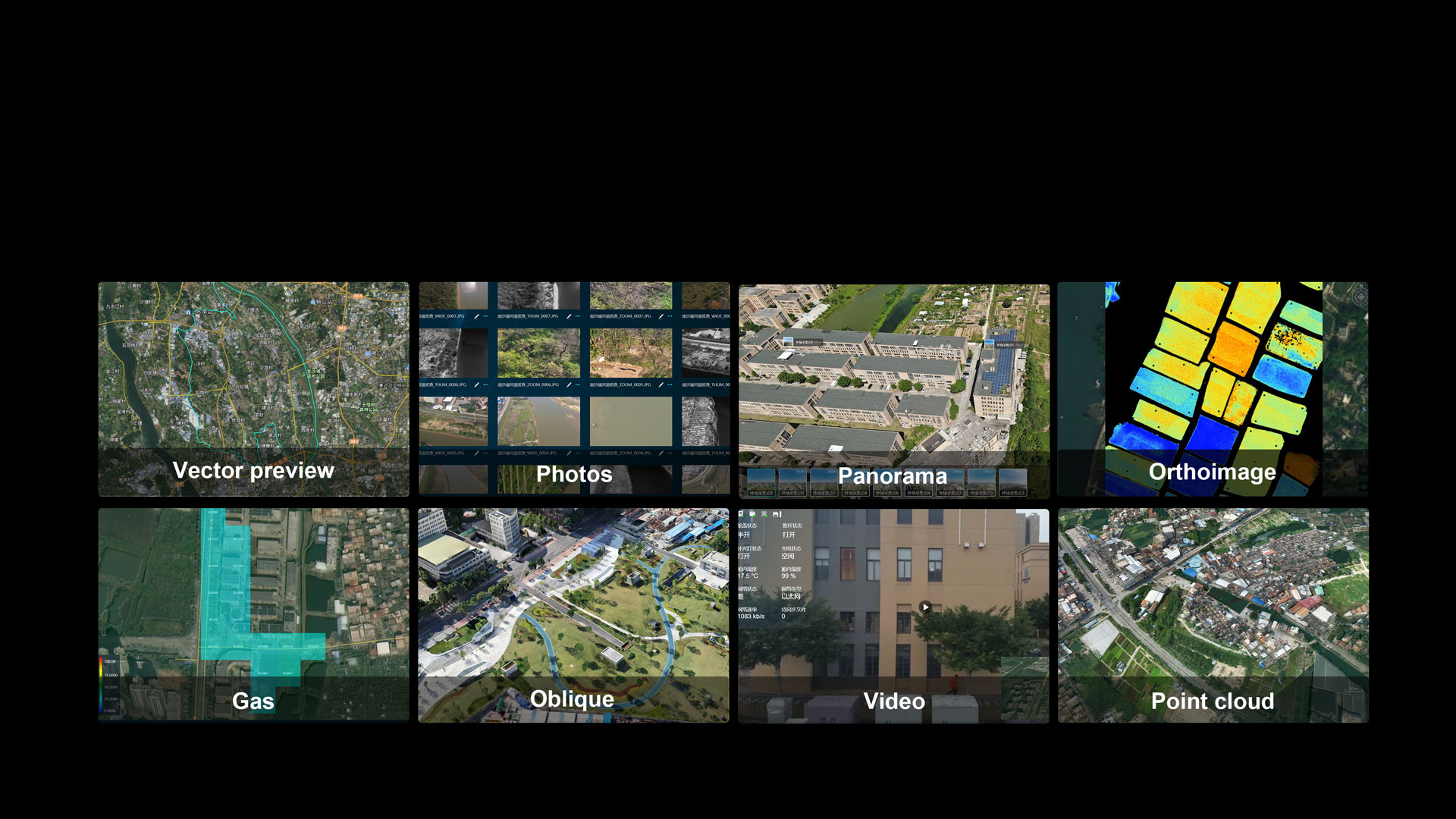
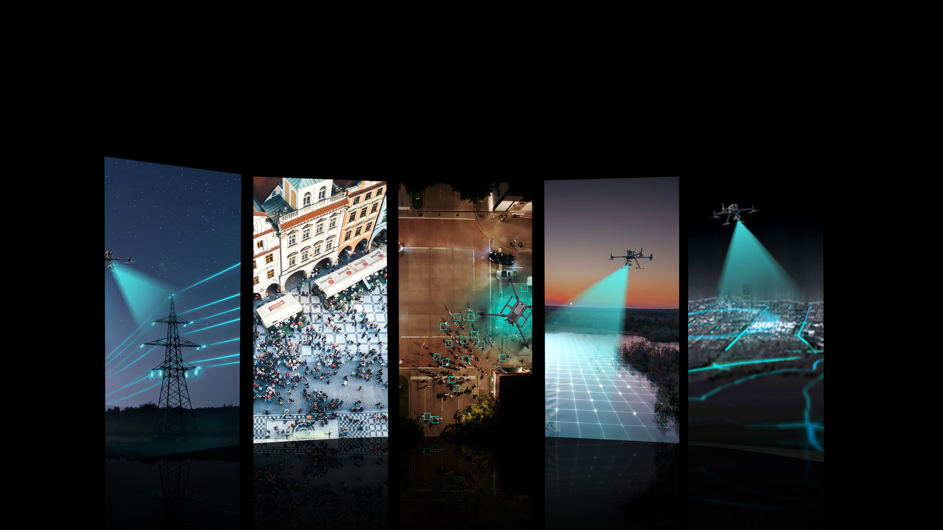
The platform supports Cloud-based photo recognition and real-time recognition based on videos, with algorithms provided as service for external access. Through multi-algorithm fusion, a vast AI algorithm library tailored to various industry scenarios such as energy, urban management, water-related affairs, public security and emergency response is made available.
Telephone Consultation